Seven species
Pike, perch, zander, trout, burbot, whitefish and bream, together on one map or one at a time.
PikePerchZanderTroutBurbotWhitefishBream

nappa rates every part of Finland’s lakes and rivers for seven fish species, hour by hour. The map shows where to go today and how sure each rating is.


nappa shows which bays and points suit your fish best today, so you can pick a spot before the boat is in the water.
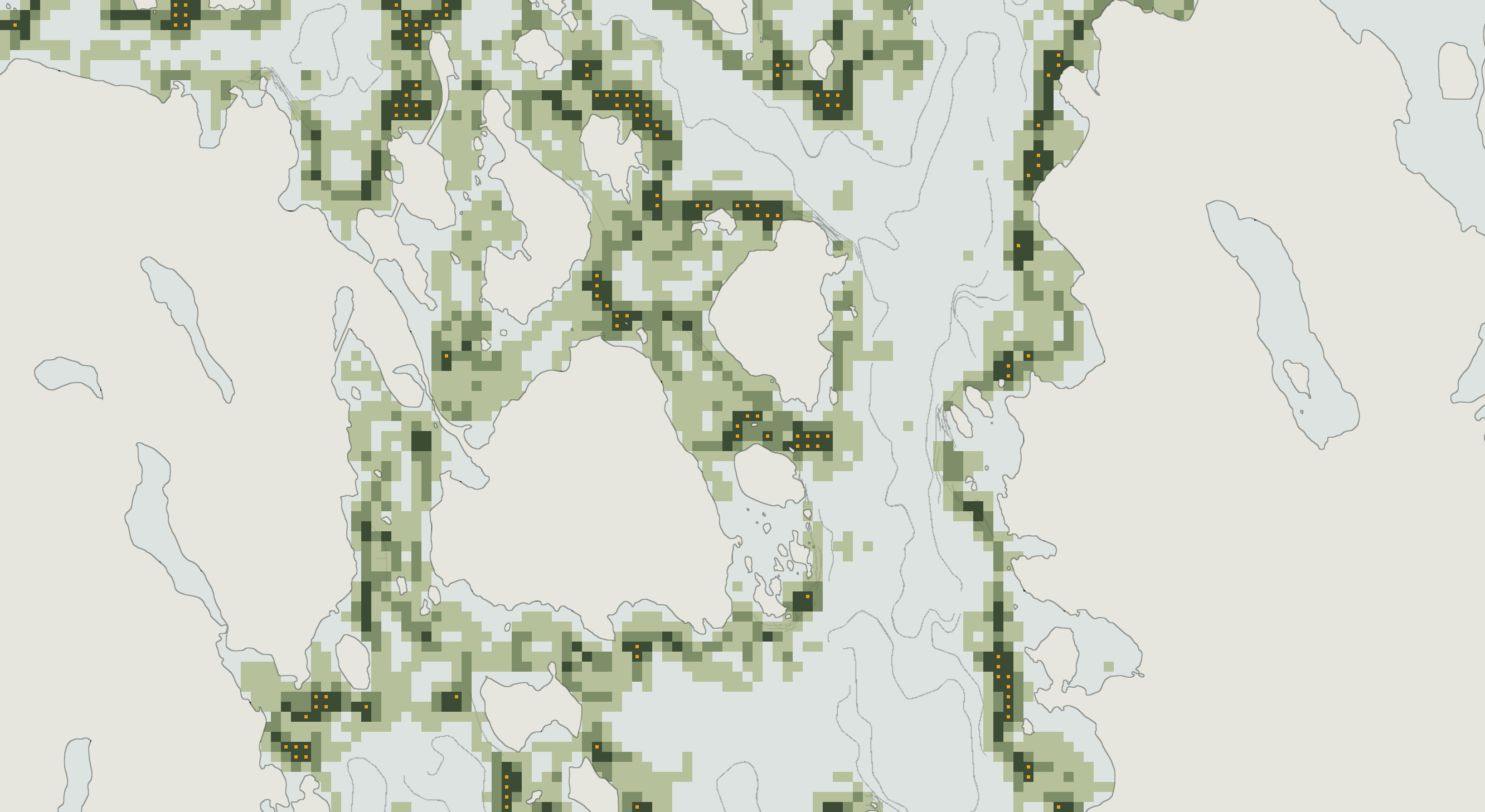 Iso-ViilioPieni-ViilioLietvesiKaarteeSammalniemiJärvelä
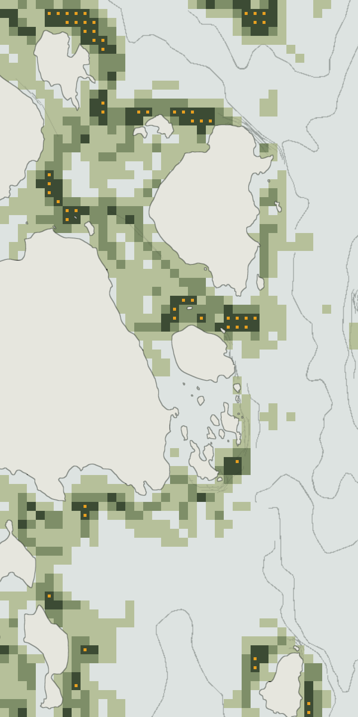 Iso-ViilioPieni-ViilioLietvesi
The map recolours for the hour you pick.
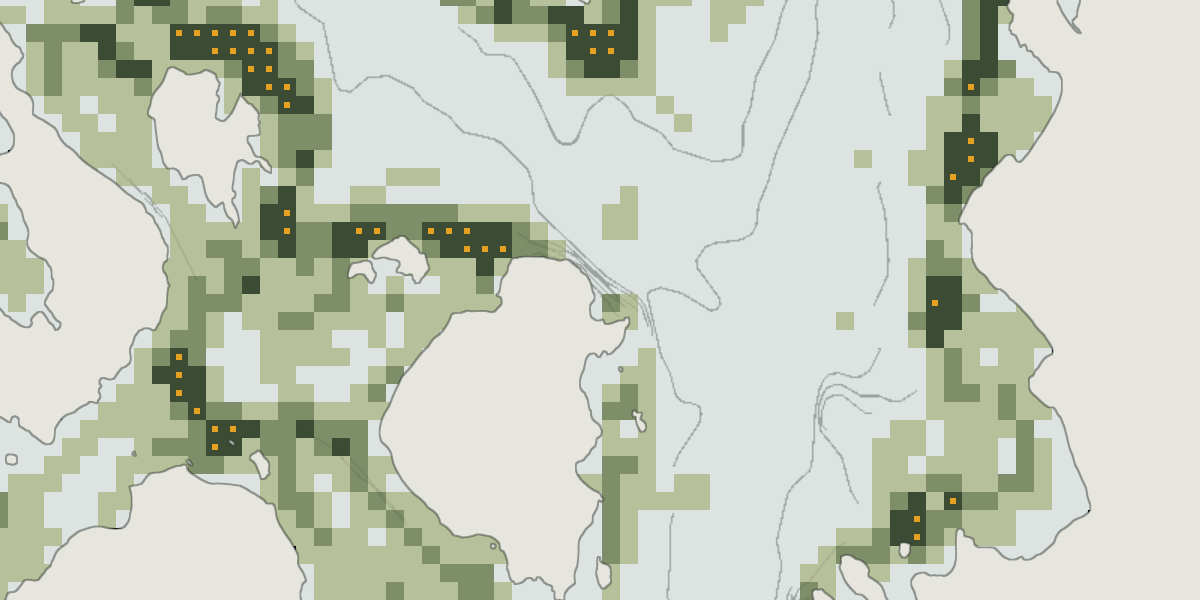
Choose one fish or all seven at once. The colour of a square tells you whether that spot is in the top 40, 15, 5 or 2 % of all water in Finland.
When you choose another hour or day, the colours change with it, so you can compare the evening with the morning.
Tap a spot to see its rank and best time of day. The card also shows how sure the rating is, what it’s based on, and the local fishing rules.
Shown: Lietvesi, all fish. The hour panel and the card are examples.
Pike, perch, zander, trout, burbot, whitefish and bream, together on one map or one at a time.
A list of the top-rated water within 25 km of the middle of the map, highest first.
Rocks, shoals, pockets and humps are on the map. Where the depth is estimated rather than measured, it’s marked “guessed”.
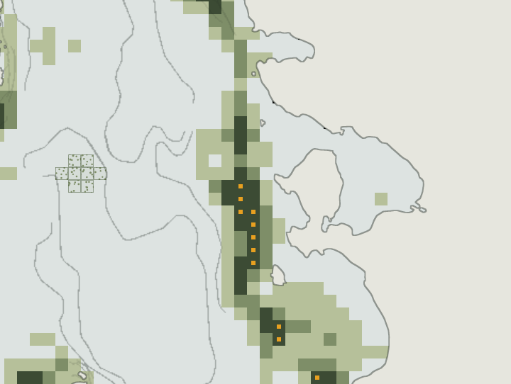 guessed
Rivers are rated for trout and perch, but the trout ratings haven’t been tested yet. On the map, rivers are shown in a single tone.
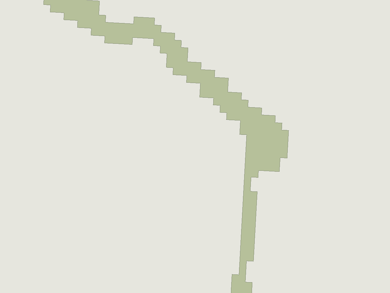
Every spot shows how sure its rating is (Low, Medium or High) and what the rating is based on.
If you save an area to your phone before you go, the map keeps working on the water without a signal.
 Saved
I checked the map against fish records that weren’t used to build it. For each record I looked at whether it came from the fifth of its lake that the map rates highest. If the map were guessing at random, that would happen for one record in five.
Some of the weak results come from the records themselves, because many of them give only a rough area rather than the exact spot.
The map is built from open data: SYKE and Traficom (depth, not for navigation), Kalastusrajoituspalvelu (rules), FMI and Open-Meteo (weather), Maanmittauslaitos (place names), OpenStreetMap.
On 20 September 2026 a 110 cm pike came up on Lietvesi. After that I wanted to know which parts of a lake hold fish, and whether you can know that before you go, so I started building this map.
